our projects
strategy, complex projects, and human-centred design
When we start work on a project, we always start right at the beginning — by understanding what you’re trying to achieve, who it’s for, and why it’s important to you. But no matter what the answers to these questions are, we apply the same set of core principles to how we work with you.
featured project
He kai kei aku ringa / Mātai Whenua
for New Zealand Agricultural Greenhouse Gas Research Centre (NZAGRC) | Toihau
August 2023 – Present
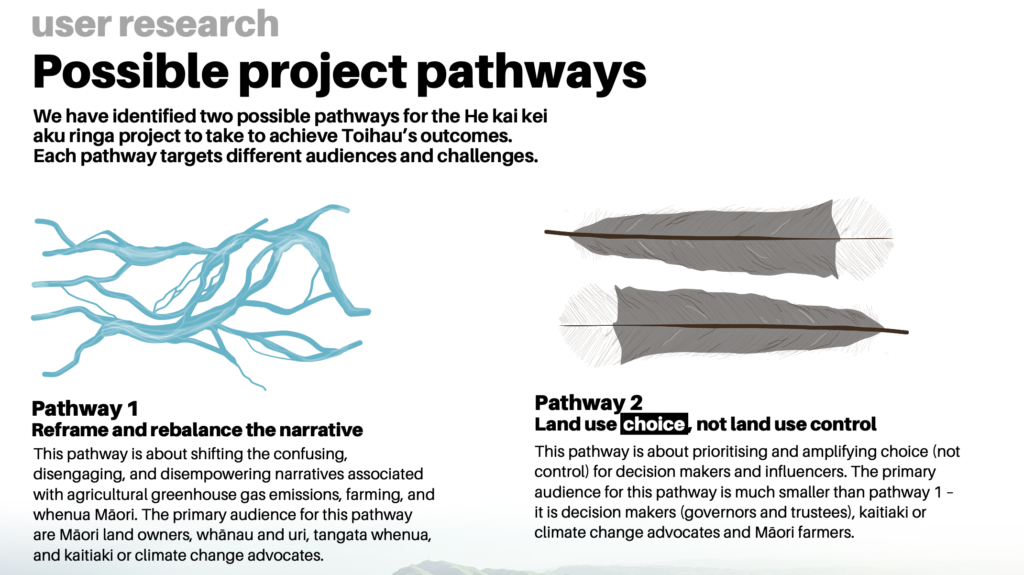
He kai kei aku ringa was a project to develop a digital tool that can be used to engage with and educate Māori land owners, farmers, their whānau and communities about agricultural greenhouse gas (GHG) emissions and how to reduce them. We’re developing this in partnership with Toihau, the Māori Advisory Board to NZAGRC.
So far, we’ve completed extensive user research on what people know and understand about GHG emissions, and what kind of information they need to help in their decision-making – as well as cataloguing information and data that already exists. We’re now designing concepts and prototypes of the tool to ensure the user experience is designed in a way that is distinctly Māori, and that provides multiple user pathways with a tailored experience.
To show how we’re approaching this work and partnering with Māori, we’ll be sharing our process and findings here soon. We hope it’ll provide some insight into both how we work, and the challenges whānau face with regards to GHG emissions on their whenua. We’d love to hear from you if you have feedback or want to learn more.
our projects
See some examples of the projects we've worked on.
GIS Team transformation and ways of working
for Department of Conservation, April 2024 - August 2025
DOC is responsible for about 30% of all land in Aotearoa, including parks and reserves, wildlife and habitat protection areas, offshore islands, and areas of national significance. Geospatial data, tools, and processes are critical for DOC to effectively administer this land and make good decisions about it and its operations.
We were engaged in April 2024 to assist the DOC Geospatial Services Team (GST) to embark on a journey of transformation from a transactional and reactive GIS service provider to a proactive "Location Intelligence Partner", with a focus on four tactical areas:
- Governance and leadership - how to plan, make decisions, and treat risks effectively
- People and partners - How to retain staff and engage with internal and external partners
- Ways of working - How to work together better
- Data and insights - How to manage data and produce meaningful insights
- Governance and leadership - how to plan, make decisions, and treat risks effectively
- People and partners - How to retain staff and engage with internal and external partners
- Ways of working - How to work together better
- Data and insights - How to manage data and produce meaningful insights
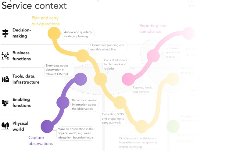
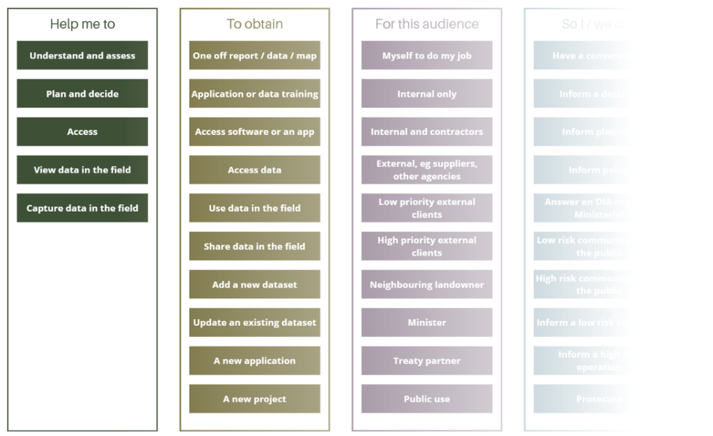
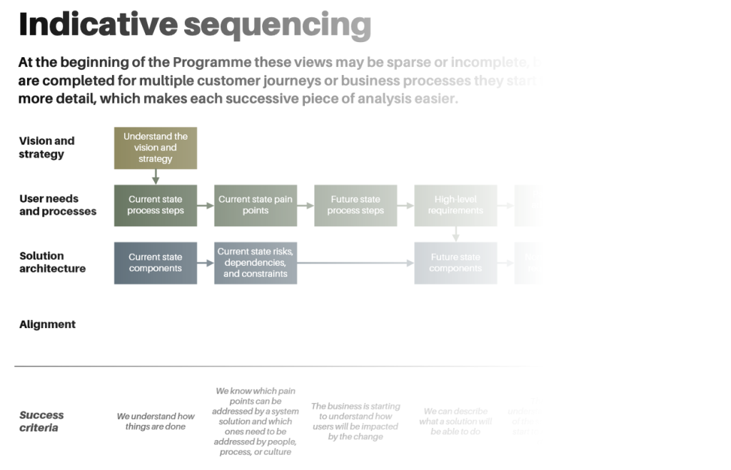
We led the work to understand and align the work DOC's operations teams do with DOC's wider strategy, and to work out the customer touchpoints with the GST team. This helped the team to understand the different DOC processes had GIS as a critical dependency, identify pain points and opportunities, and co-design a plan for approaching the transformation challenge and new ways of working for future state.
Matarau.nz
for Our Land & Water National Science Challenge, August 2022 - May 2024
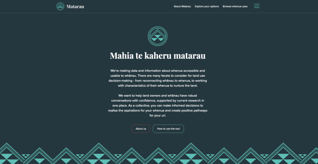
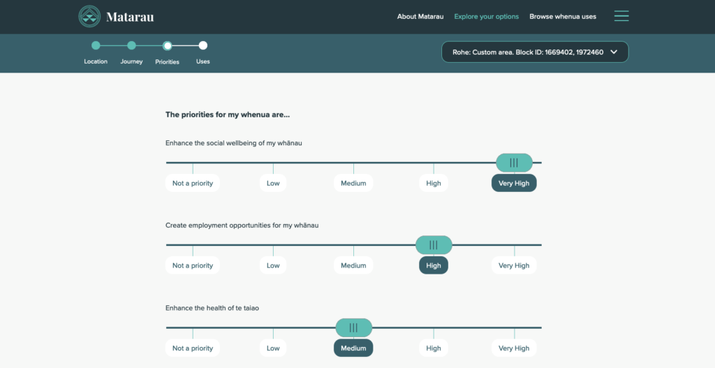
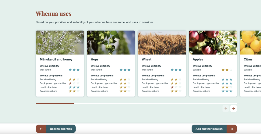
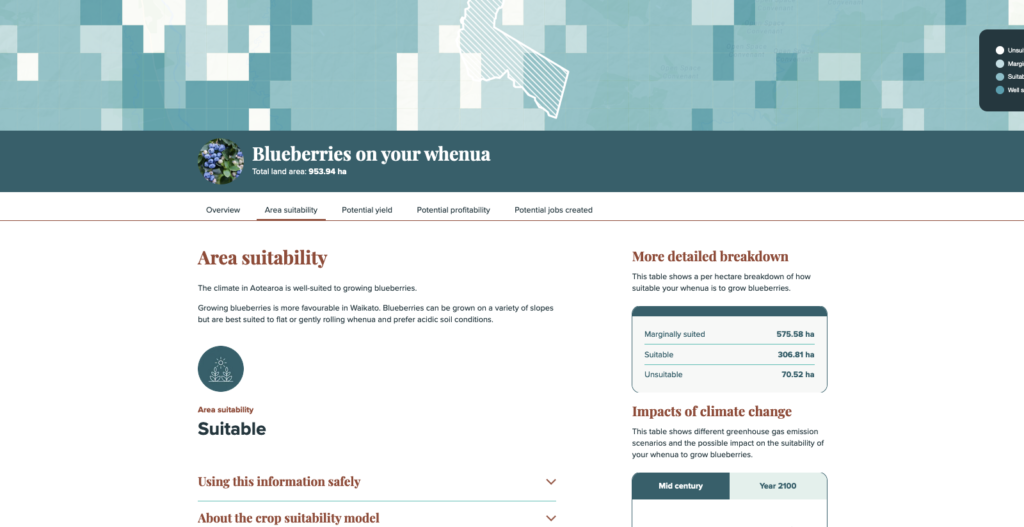
Matarau.nz is a data-driven digital tool designed to give land owners and whānau the confidence to have robust conversations about their whenua.
Our Land & Water National Science Challenge engaged us to help its Whitiwhiti Ora team contextualise and surface technical land use datasets for a Māori land owner audience. Their goal was to create an information hub to empower Māori landowners to make informed decisions about their whenua and create positive pathways for their uri.
We facilitated workshops and design sessions with Māori land owners and worked closely with whānau, scientists, and our digital partners NV Interactive to collaboratively design and develop a user experience that would ensure the data was presented in users' contexts. We also leveraged our existing GIS data platform to transform and surface Whitiwhiti Ora datasets alongside other land datasets.
Tupu.nz
for Te Puni Kōkiri Whenua Māori Service, January 2019 - March 2020
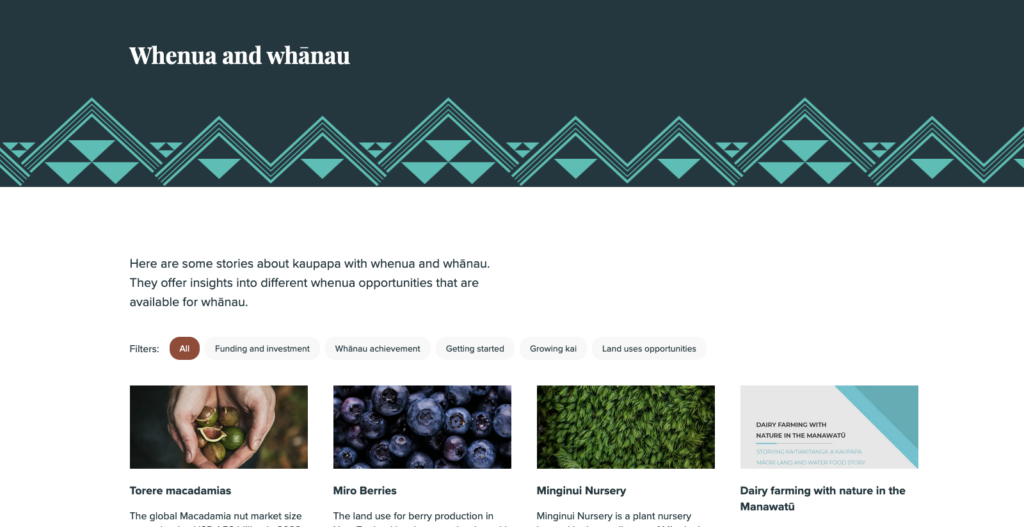
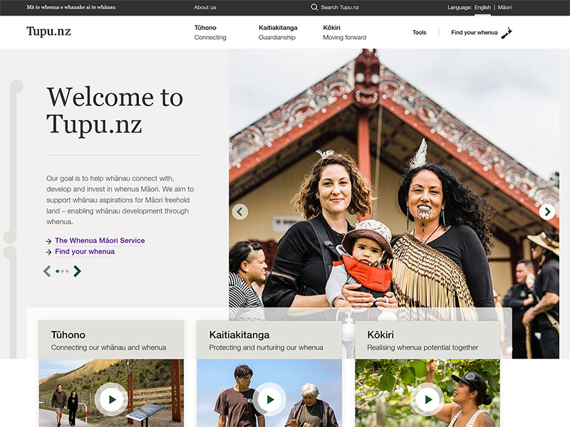
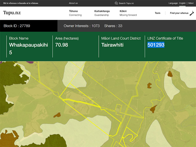
Tupu.nz is an online resource to help Māori land owners and their whānau realise their aspirations for their whenua. It supports Māori land owners to navigate the complex journey of Māori land ownership. It provides whānau with information that is easy to find, easy to use, and easy to understand.
We were privileged to be involved in all aspects of the development of Tupu.nz. In particular we designed and facilitated the engagement with Te Puni Kōkiri teams and Māori land owner user reference groups.
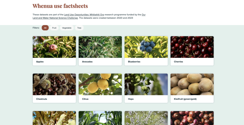
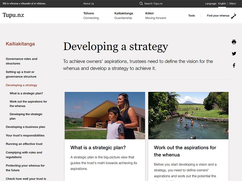
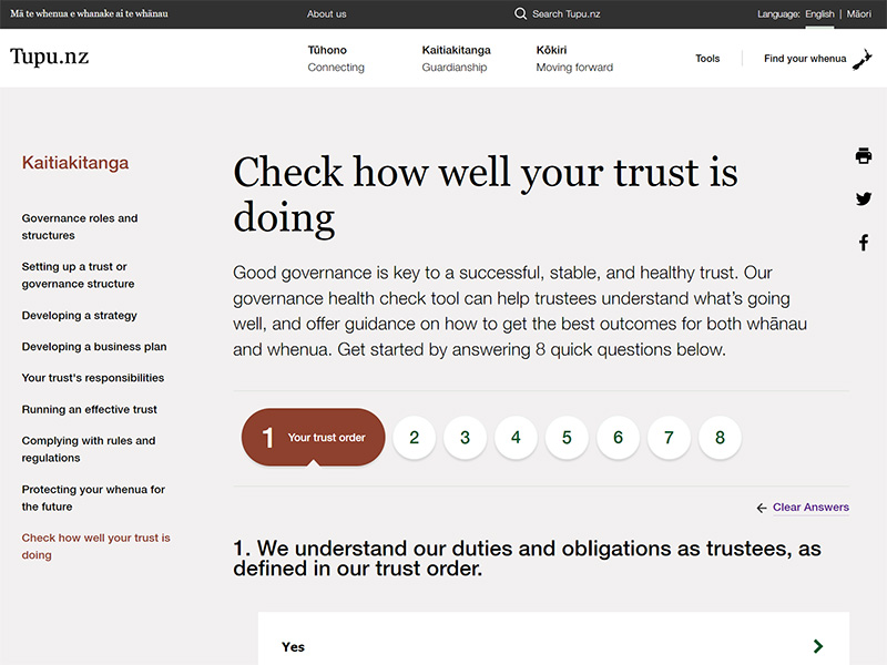
We led the design and development of the information architecture and web content for the site, including trust assessment tools, fund search tools, natural-language decision-tree tools, and the popular land use factsheets. The end-result was an award-winning trusted information resource for Māori land owners and their whānau.
We led the design and development of the information architecture and web content for the site, including trust assessment tools, fund search tools, natural-language decision-tree tools, and the popular land use factsheets. The end-result was an award-winning trusted information resource for Māori land owners and their whānau.
Tōku Whenua
for Te Puni Kōkiri Whenua Māori Service, January 2019 - August 2020
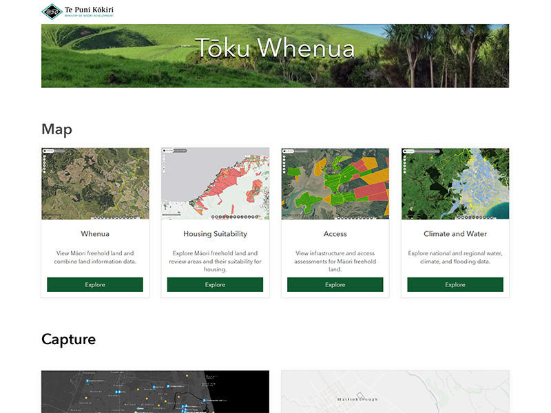
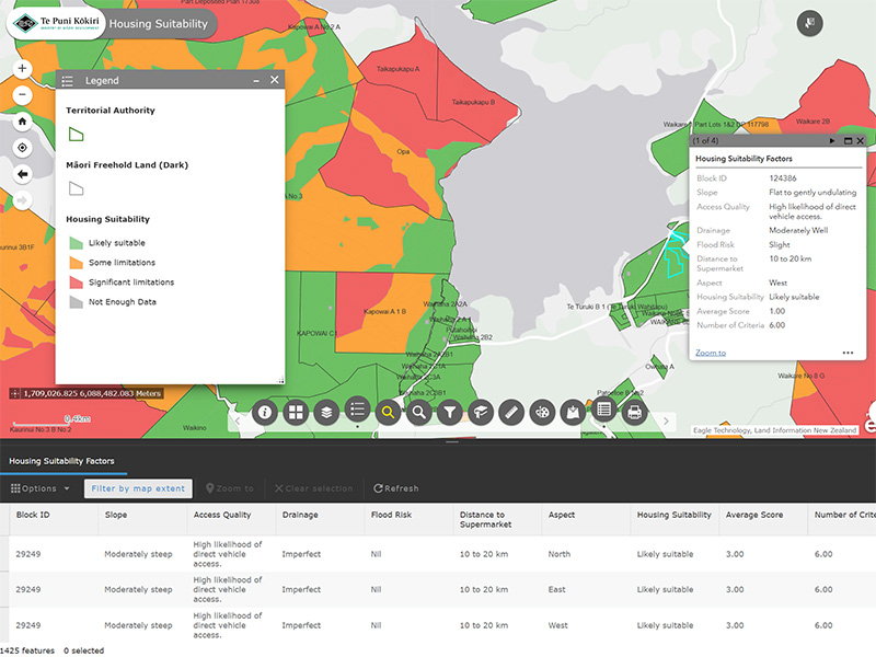
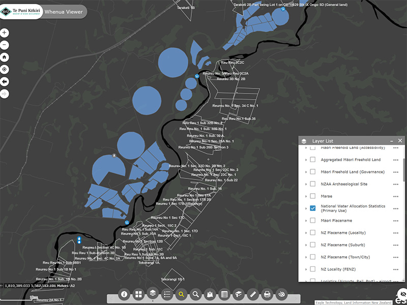
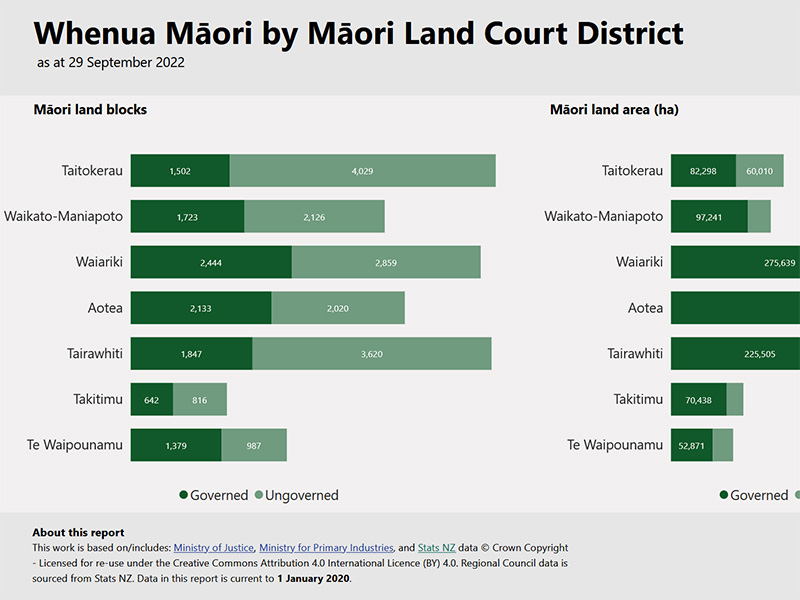
Tōku Whenua is Te Puni Kōkiri's internal mapping and reporting platform to support the Whenua Māori Service in their engagement with Māori land owners and their whānau. Tōku Whenua is a comprehensive geospatial and reporting platform for Māori land attributes built on Azure SQL Server, Microsoft Dynamics 365, ArcGIS Enterprise, and Power BI.
We managed the project from end-to-end, including developing technical user requirements, building the platform, sourcing and onboarding data, documentation, testing, training, and post go-live support. The end result is a platform that enables rich insights to inform government policy and engagement, and support on-the-ground delivery of services to Māori land owners and their whānau.
Recreational cricket scoring and club management platform
for NV Play, April 2020 - August 2020, and November 2023
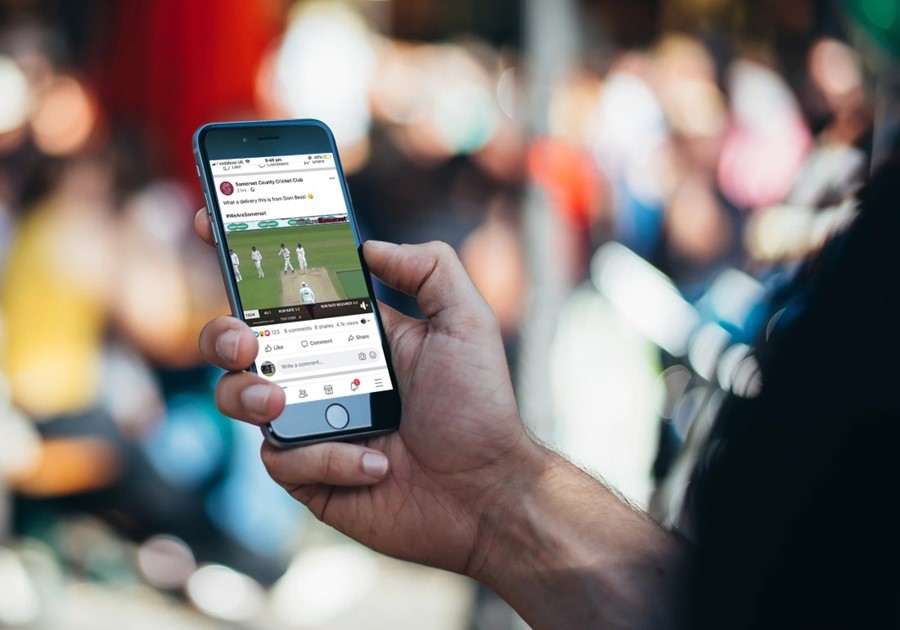
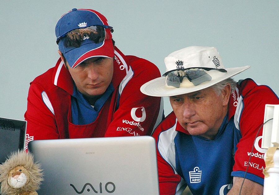
NV Play is the leading provider of elite level cricket high performance analysis and scoring. They have a long-term strategy to bring their platform to the domestic and recreational level to fundamentally change the technical landscape of cricket itself.
We facilitated workshops with NV Play and a national cricket body to develop user personas and detailed user requirements for an integrated analytics, scoring, club- and player-management platform for the recreational market. We also helped NV Play develop a go-to-market strategy for their domestic club scoring, analytics, and video platform.
Aotearoa Land Data Catalogue
for VHC, April 2022 - July 2022
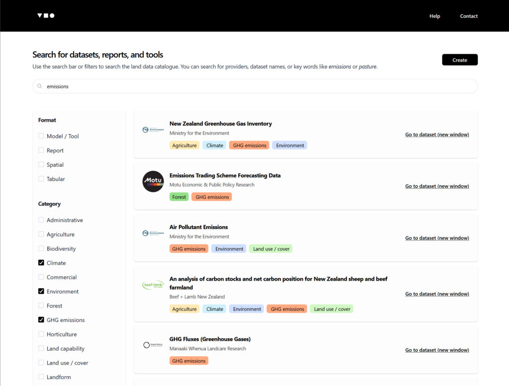
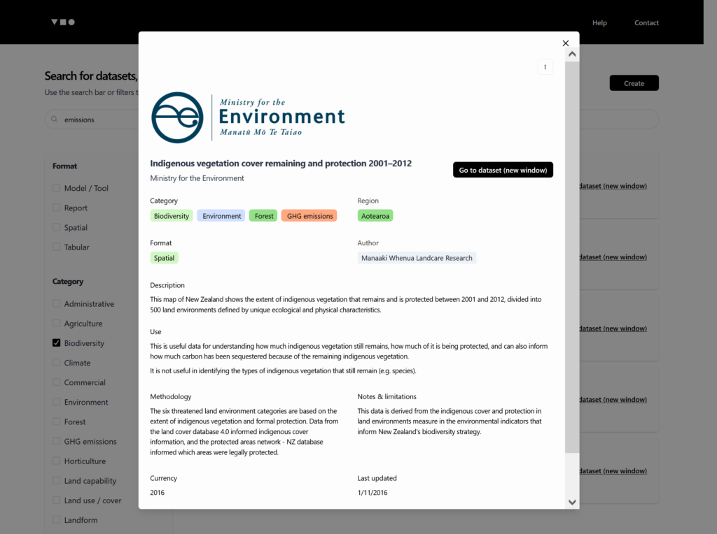
Over the course of multiple engagements providing land data reports to customers we realised that there was no single comprehensive list of land data sources. This means anyone embarking on a land data project must effectively start from scratch to understand what's out there and how it could be used to support their mahi.
As part of a piece of work for the New Zealand Agricultural Greenhouse Gas Research Commission we researched land data sources and described their methodologies, limitations, and how they could be used.
We then built on this work by developing a user-friendly database and search tool that we offer as a standalone service. Get in touch with us below if you're interested in a demo, or would like to talk about expanding the platform to your domain.
We then built on this work by developing a user-friendly database and search tool that we offer as a standalone service. Get in touch with us below if you're interested in a demo, or would like to talk about expanding the platform to your domain.

